GOLD BRIDGE Sept 2000
We headed out late on Friday evening toward the United Church on the North Shore to meet up with the others of the group. Minus a few details and some way-laid participants, we headed up the Sea to Sky Hwy at 8:30 p.m. towards Whistler with plans of going through Pemberton and Mt. Currie to spend the night at the alternate Owl Creek Camp. We arrived at Owl Creek around 11:30 pm. The rest of the crew joined up with us about 12:30 am
The next morning we back tracked into Mt. Currie and Pemberton for fuel. By about 10:00am we were heading towards D'Arcy. Just south of the D'Arcy town site, we turned left up a gravel road paralleling the rail line. This is known as the Douglas Trail (power line road) route to Seton Portage and Gold Bridge. We climbed quickly up the mountain but stopped briefly at a turn in the road as there was a large jade vein that had been cut into by the road builders. The jade is not very pure, but still a sight to behold. We traveled further along the route to McGillivary Creek FSR cut off. Bradley and I had been up this way in May and had seen a panner's "pen" on the creek about a kilometer up the FSR. This "pen" consisted of a little shed with wire meshing (probably to keep bugs out) while a hole was at the bottom of the shed for panning into the supposed gold bearing creek. Being that the nails used to construct the shed were round headed, we could estimate that the structure had been built after the 1900's turn of the century. We also had noticed a cabin up the other side of the hill from the creek when driving down but had to time to stop and investigate it at the time in May. Hence, the basis for this trip.
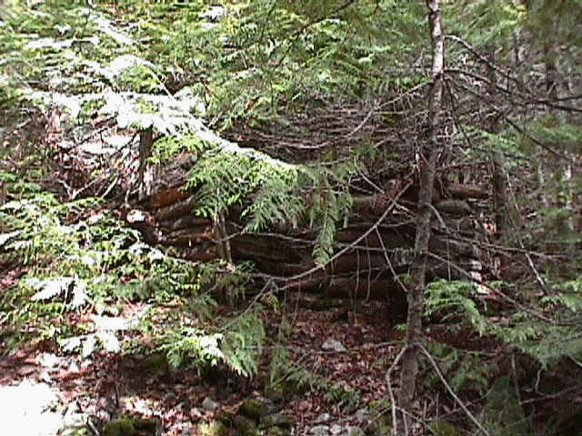
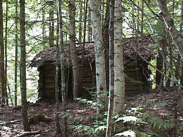
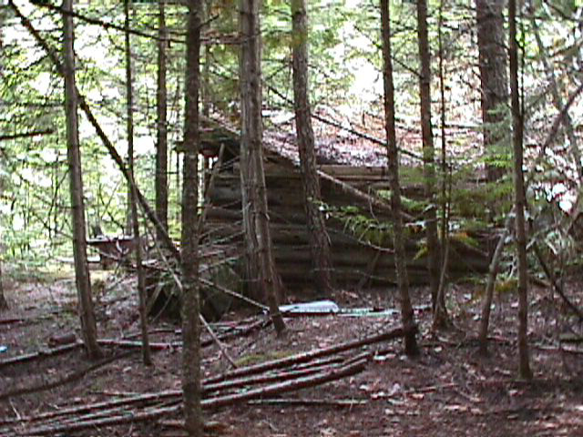
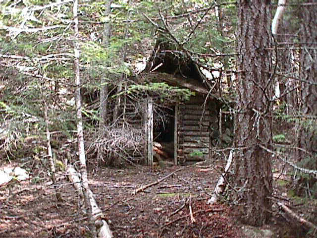
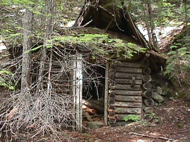
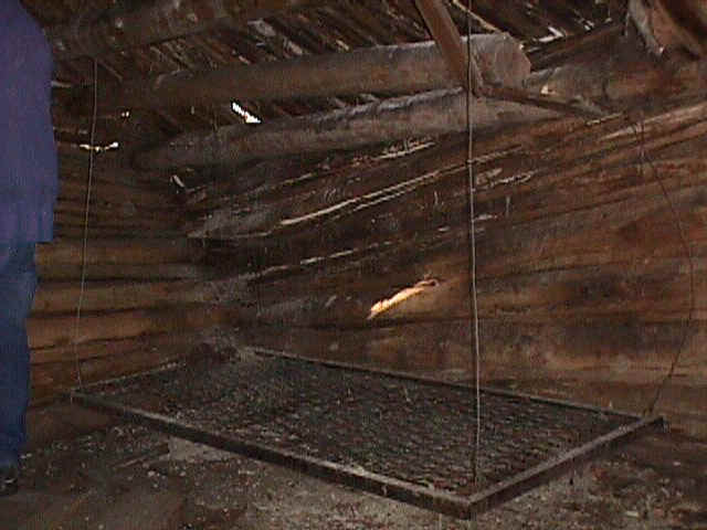
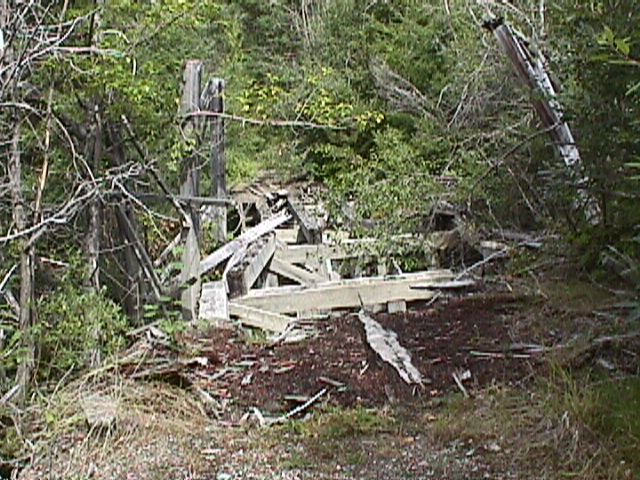
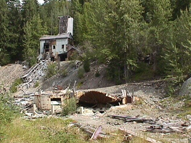
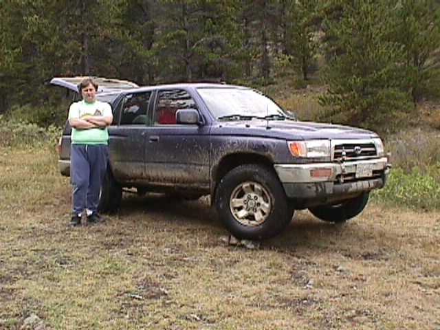
We first wanted to stop and investigate the cabin and show everyone else on the trip our little 'find'. It turns out that up on the hillside where the one cabin could be seen from the road, were actually a group of 5-6 cabins in various states of decomposure, a mine shaft caved in, and a trail leading further up the mountainside. These cabins were a magnificent find. One cabin, the main one I believe, had 2 rooms, a decomposed porch, bed springs still hanging from the ceiling on wires, a sink, remains of what looked like a rolling log 'conveyor' past it from the old mine shaft to the creek where the shed was. We traveled further up the road and by the lay of maps, came to the "joining road" that would lead into Gold Bridge -- needless to say it was "10" road even for the lifted vehicles so we turned and headed back out along the Seton-Portage road. As we were driving along behind Greg, we noticed his one rear tire looked EXTREMELY low and as we pulled into Seton Portage we all pulled over to check the situation. Sure enough he had a flat. With all the men's ego's evaluating, supervising and inspecting the tire change was undertaken and completed in record time - whatever the record of the day was =)
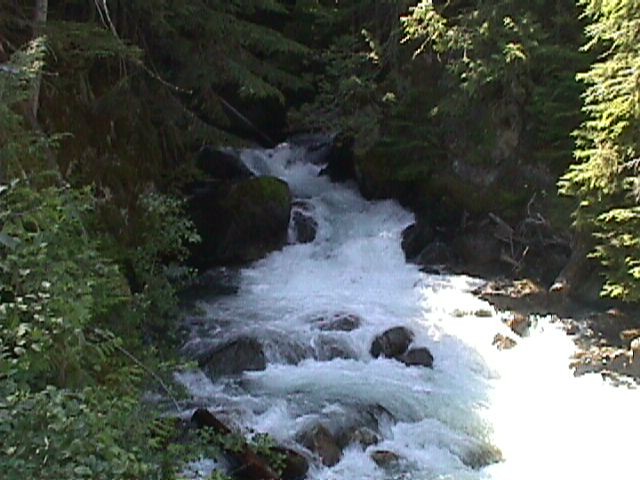
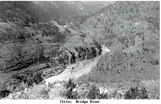
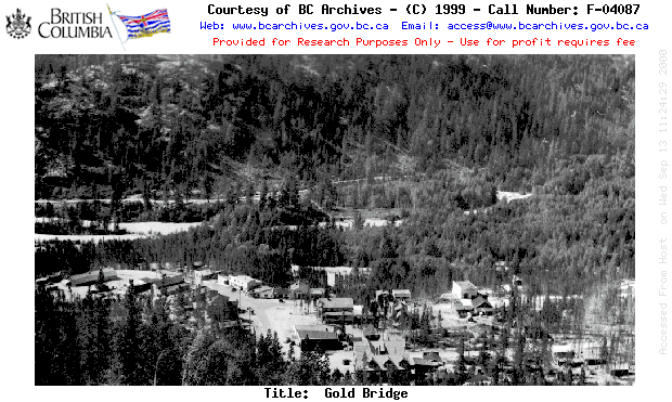
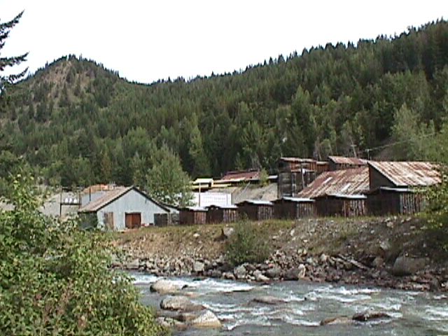
We continued on into Shalalth, the site of a major water generated Hydro site. The main road for the area even winds underneath one of the power stations. The water from the created Carpenter Lake on the other side of the mountain, flows down intake tubes generating the power in the 3 stations in the area. Quite a sight to see if you've never been near a water generated power plant. Outside on the eastern side of the town we wound up a steep mountain pass over and down into the Carpenter Lake area. Carpenter Lake is a man made Lake, created by damming one end of the Bridge River years ago. The dam is at the East end of the Lake, cut into the mountain side. You can see all the waterlogged tree tops sticking above the water line in some area's and the intake ports for the Hydro generating facility in Shalalth are also visible. After crossing thru the tunnel over the dam, you can turn Right to go into Lilooet or turn Left to go to Gold Bridge. We camped overnight near the roadway on the river and headed for Gold Bridge the next day.
![]()
BACK TO MAIN TRIPS PAGE